
Springdale ZIP Directory Coverage
Three ZIP codes reach addresses identified by the city GIS as incorporated Springdale. The city address service is the strongest local evidence because its records carry the postal code, postal community, county, incorporated municipality, and E911 jurisdiction as separate fields. Those fields can disagree. The table therefore describes verified incorporated address combinations rather than claiming that each ZIP lies wholly within Springdale.
| ZIP | Springdale areas | Post office | Record note |
|---|---|---|---|
| 72762 | Principal west Springdale | Springdale routing; verify the address with USPS | Incorporated points occur in Washington and Benton counties |
| 72764 | Principal east and central Springdale | Springdale Post Office and Springdale Station | Incorporated points occur in both counties |
| 72745 | Limited north and Benton-edge addresses | Lowell postal geography | A Lowell postal line may still be incorporated Springdale |
The 72764 offices documented by USPS are the Springdale Post Office at 2811 Springdale Avenue and Springdale Station at 429 Holcomb Street. A post office name helps with delivery, but does not select a recorder, assessor, court, or election office. County GIS must make that choice.
The verified set came from a query against Springdale's official address-point service. It selected records whose incorporated-municipality field equals Springdale, then returned distinct combinations of postal code, county, postal community, and E911 jurisdiction. That method matters. It tests city-maintained address points instead of relying on a commercial ZIP outline or a mailing-city label. It also explains why this Springdale ZIP code directory does not assign a ZIP to only one county or one municipal label. Address points can change as land is annexed, roads are added, or postal routing is revised. Recheck the city service and USPS for a specific address, then save the parcel number and legal description when the search moves into property records.
Springdale ZIPs Versus City Limits
A ZIP code is a delivery construct. It is not a municipal border. Springdale's official address layer proves the point with 72745 records whose postal community can be Lowell or Springdale while the incorporated-municipality field remains Springdale. The E911 field can add yet another label because emergency response areas answer a different question.
The same separation affects 72762 and 72764. Both contain incorporated Springdale points in Washington and Benton counties. A Springdale mailing line cannot tell a researcher which assessor holds the parcel or which circuit clerk holds its deed. Open the city address point first, read its county field, and then move to the matching county system.
Key distinction. Use USPS for mail, city limits for municipal status, county GIS for custody, and a legal description for land identity.
Verify a Springdale ZIP
A reliable Springdale ZIP code directory workflow checks routing and jurisdiction in sequence. It avoids the common mistake of sending a north Springdale deed search to Washington County merely because most historic Springdale lies there.
- Enter the full street address in the USPS ZIP Code Lookup and record the standardized mailing line.
- Find the same point in the Springdale address layer. Compare postal community, incorporated municipality, county, and E911 jurisdiction.
- Open the proper Washington or Benton county parcel system. Confirm situs address, parcel number, and owner.
- Use the owner name only after the parcel fixes the county and location. If needed, continue to the county recorder or an individualized official lookup.
The USPS lookup screen is the first half of that process.
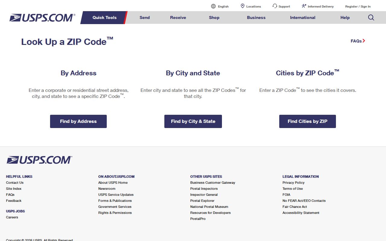
The screen validates a delivery code, but it does not establish city limits, county, ownership, or residence.
Two Counties in Springdale ZIPs
Springdale's two-county geography is the key interest layer for every postal search. Washington County serves most historic and central Springdale. Northern annexations extend into Benton County. Each county has its own assessor, parcel maps, circuit clerk, land index, and voter administration. Fayetteville and Bentonville, not Springdale City Hall, are the county seats.
After the ZIP code directory narrows an address, Washington County property work can proceed through its assessor, DataScout, or public webmap. Benton County offers Property Information, its Basemap, assessor records, and a separate circuit-clerk land service. If an online result fails, call or visit the correct assessor or clerk. Full instruments, certified copies, and older books may still require counter or mail research.
The Benton County GIS tools gallery includes its ZIP Code Areas map and property resources.
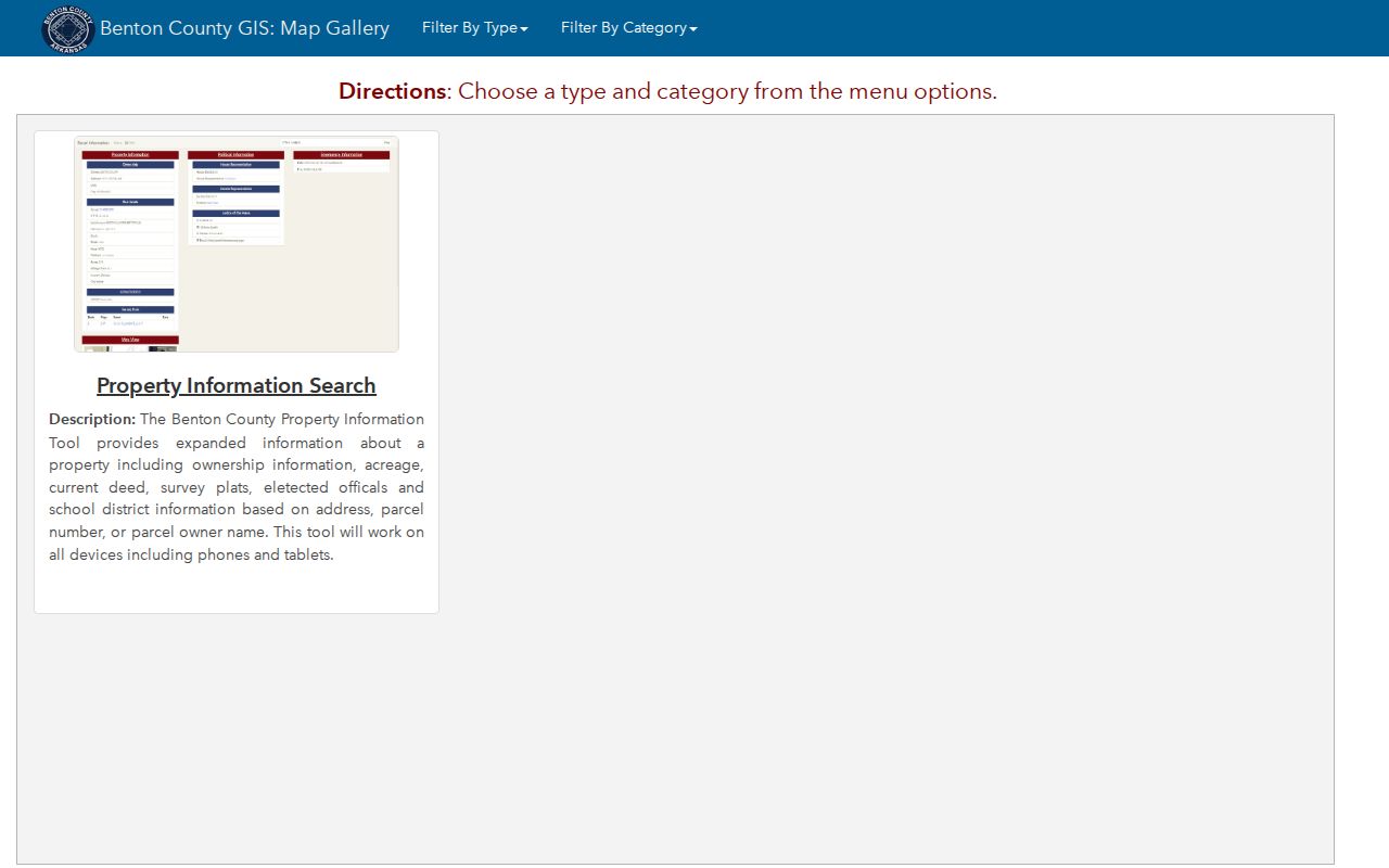
This county map is the right next step for a north Springdale address once the city layer identifies Benton custody.
Note: ZIP boundaries can cross the county line, so a postal code alone never chooses the correct Springdale records office.
Springdale ZIP Search Fields
No county property system inspected advertises a ZIP-only resident filter. Springdale GIS does make its postal-code field queryable, but the output is a set of address points, not names of residents. Benton Property Information accepts one name, address, or parcel identifier. Washington property tools also support address searches. These are precise record routes after a postal area has been narrowed.
| Field or tool | Input | What it returns | Limit |
|---|---|---|---|
| Springdale address layer | post_code query | Address points with county, postal, city, and E911 fields | No resident roster |
| Benton Property Information | Name, address, or parcel ID | Ownership, acreage, deed, plats, and districts | No advertised ZIP filter |
| Washington property search | Owner, address, or parcel | Assessment and parcel records | Choose Washington County first |
| VoterView | Individual identifying inputs | Registration and polling-place verification | Not a browseable ZIP list |
For the complete address-point schema, the Springdale GIS service exposes address number, unit, street components, legacy street fields, postal community, ZIP and ZIP+4, county, municipality, and E911 jurisdiction.
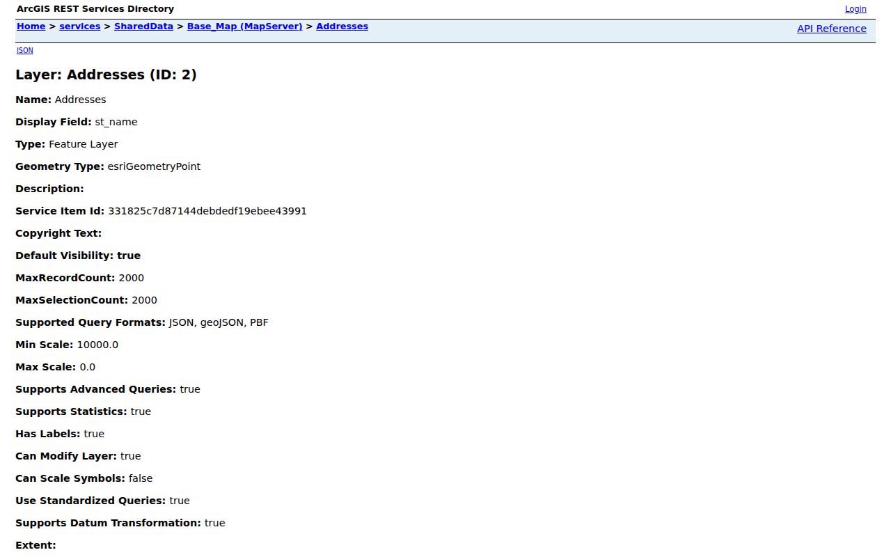
Those separate columns explain why a single Springdale address can carry several valid geographic labels.
Four Springdale Address Keys
ZIP, situs, mailing address, and legal description are related but not interchangeable. A clear vocabulary keeps the Springdale ZIP code directory from being mistaken for an ownership roll.
- ZIP and ZIP+4
- The ZIP routes mail across a broad area. ZIP+4 narrows a delivery segment, not a city or ownership boundary.
- Situs address
- The assessed physical location of a parcel.
- Mailing address
- The destination for tax correspondence. It may be a different street or a post office box.
- Legal description
- The lot, block, subdivision, section, or metes-and-bounds wording that controls land identity.
- Carrier route
- A postal delivery sequence. It is not a public household roll.
A mismatch between situs and mailing address can suggest that the titled owner receives mail elsewhere. It does not prove who occupies the Springdale property. A legal description is the durable bridge when postal lines or street names change.
Find Springdale Residents by ZIP
Once a ZIP and county are confirmed, move from broad geography to a record with a real person key. A parcel search can link an exact address to a titled owner. A deed can then confirm the grantor, grantee, recording date, and legal description. The owner may not be the occupant, so describe the result with care.
For an individual voter, Arkansas VoterView verifies registration and polling-place information. It is not a public tool for browsing everyone within 72762, 72764, or 72745. County-based registration means the same Washington-Benton split still controls custody. Secure voter addresses are omitted from computerized lists under Arkansas law.
If the search has narrowed from a ZIP to one road, the Springdale street directory explains the address-to-parcel route. The ZIP page should stop at that handoff rather than treating postal geography as proof of a household.
Springdale ZIPs Through Change
Annexation and road changes create record mismatches even when a present mailing address is valid. Springdale's centerline data keeps left and right address ranges, odd-even parity, postal community, ZIP, county, and E911 fields. Different sides or stretches of one road may therefore follow different routes.
The city schema also preserves current and legacy street components. When an older address fails, search both forms, then compare the parcel's plat and legal description. The 1924 Sanborn map can add historic block and structure context. No authoritative source reviewed gives a citywide renumbering year or a dated Springdale ZIP split, so a failed modern search should not be forced into an invented timeline.
This is also why older Springdale records may say Shiloh. The community used that name before the post-office change to Springdale in 1872. Historic wording and present postal codes belong to different record eras.
Limits of a ZIP Directory
A ZIP code directory cannot show every resident. Property rolls name titled owners, not all renters or household members. VoterView checks one registration rather than displaying a block or ZIP roster. Utility subscribers, delivery data, student records, and motor-vehicle addresses are not substitute public lists.
Official sources also have different access channels. Start online, then use the assessor or GIS office when an address will not resolve. Ask the circuit clerk for older deed books, images, or certified copies. A narrow written request under the Arkansas Freedom of Information Act can reach an existing municipal record, but the act does not compel an office to create a ZIP-sorted resident list.
Lawful use. Springdale postal and property records support family, property, and civic research. Never use them to monitor, harass, or harm a person.