
Springdale Neighbor Record Sources
A block lookup works by combining a city address point with the correct county parcel system. The parcel map gives the spatial frame. The assessor and recorder add owner and deed evidence. Voter and permit records answer narrower questions and should never be treated as a list of every person nearby.
| Source | What it shows about a block | Access |
|---|---|---|
| Springdale address and centerlines | Points, ranges, parity, county, postal and E911 differences | Public ArcGIS services |
| Benton Basemap | Parcel shapes, plats, identify, query, draw, and measure tools | Free after disclaimer |
| Benton Property Information | Owner, acreage, current deed, plats, and districts | Free name, address, or parcel lookup |
| Washington GIS and DataScout | Parcel placement and assessment context | County webmap; assessor fallback |
| County assessor | Titled owner, situs, mailing, value, and homestead clues | County search or office |
| County recorder | Prior owners, deeds, liens, covenants, and plats | Online index plus counter routes |
| Springdale permits | Work history for a selected address | Department request |
| 1924 Sanborn map | Historic blocks and building footprints | Free Library of Congress images |
Each row answers a different question. Parcel evidence identifies owners of nearby land. It does not identify renters, relatives, guests, or all other occupants. Precise labels protect against overstating what the record proves.
Springdale Neighbors Cross Counties
The defining geography is Springdale's Washington-Benton county split. Most historic and central blocks lie in Washington County. Northern annexations extend into Benton County. That means the same city name leads to two assessors, two recorder systems, two county GIS routes, and separate election custodians.
Resolve the county through the Springdale address layer. Its fields separate incorporated municipality, county, postal community, ZIP, and E911 jurisdiction. A Springdale or Lowell postal line can be valid without selecting the proper county. The county field does that work.
Once resolved, keep the research inside one system. Do not merge a Washington parcel hit with a similar Benton owner name. Parcel number, situs, legal description, and deed date must support each observation.
Map a Springdale Block
Benton County publishes the clearest documented adjacent-parcel process. Its Basemap includes Search, Query, Layers, Measure, Draw, and spatial tools. There is no advertised one-click neighbors report. The user must inspect the correct parcels.
- Resolve the target address in Springdale GIS and note the county.
- Open the matching county parcel map and locate the exact address.
- For Benton, select the result, choose Spatial, select Parcels under “Select Features In,” and click “Intersect By.”
- Zoom until adjoining parcel polygons are visible. Identify or query each parcel, using Draw and Measure only to define the block.
- Record parcel IDs and situs addresses first. Then open each property result for the titled owner and mailing address.
- Separate adjoining parcels from nearby address points, apartment units, and condominium interests.
The process is address to city GIS, then county, parcel map, parcel ID, assessor result, and deed. For a whole named road rather than the immediate block, use the Springdale street directory.
Springdale Neighbor Parcel Cards
A Benton parcel result may show current ownership, legal description, situs, mailing address, deed transfers, acreage, land and building data, valuation, assessment history, homestead status, current deed, survey plats, and political or school districts. Washington records offer the same core path through the assessor and DataScout, though display and field depth may differ.
The Benton Property Information tool accepts an owner name, address, or parcel ID.
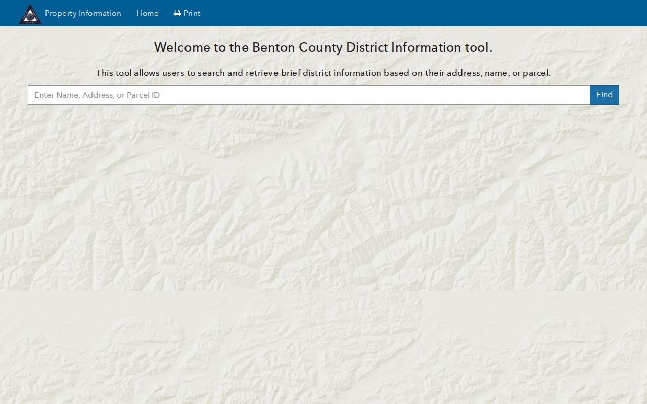
This result page is useful for fixing one parcel at a time. It should not be converted into a claim about every person on the block.
- Parcel
- A mapped unit of land with a county identifier.
- Situs
- The assessed physical location.
- Mailing address
- The destination for tax mail, which may differ from the situs.
- Plat
- A recorded map of lots, blocks, streets, easements, or subdivision boundaries.
A matching situs and owner mailing address plus homestead status can support an owner-occupancy inference. None of those fields proves a full household.
Washington-Side Springdale Neighbors
On the Washington County side, begin with the county public webmap or DataScout. The assessor documents searches by owner, address, or parcel and provides a telephone fallback at 479-444-1500. Maps are reference tools, not surveys or title opinions. If a street spelling fails, check Springdale's current and legacy street-name fields.
The Washington Circuit Clerk then supplies deeds, mortgages, releases, plats, surveys, liens, leases, and protective covenants. Its site separates current indexed records from the 1834-1991 historical search. Original handwritten indexes remain available when a typed historic name has been mistranscribed.
Permits can add work history at a chosen Springdale address. The Building Department handles building, electrical, mechanical, plumbing, sign, moving, and demolition records, but no public historic address portal was verified. Ask for existing records with a narrow address and date range through the department or City Clerk.
Note: In unincorporated Washington County, absence of a building permit does not prove that no work occurred because some structures need no county permit.
Springdale Voter Data Is Individual
Arkansas VoterView checks an individual's registration and polling place. It does not expose a public browseable block roll. Registration is county-based, so actual residence selects Washington or Benton custody. Owning property does not establish voting residence.
Arkansas law provides for computerized voter lists through controlled request channels and requires secure voter addresses to be omitted. Public list fields can include names, addresses, ZIP codes, precincts, and status, while protected data and ballot choices remain outside the record. A failed individual lookup does not prove that someone does not live nearby. Spelling, a recent move, the county boundary, registration timing, or protected status can explain it.
This is a crucial limit for Springdale neighbors research. A parcel owner list is not a voter list, and a voter list is not a full resident roll. Cross-check a named record only for a lawful reason and describe its scope accurately.
Springdale Community Directory Limits
No City of Springdale source reviewed publishes a comprehensive neighborhood-association or homeowners-association inventory. No official membership directory was verified. Inventing association names or implying public rosters would mislead readers.
The city does recognize neighborhood associations as eligible Adopt-a-Trail groups through its Active Transportation program.
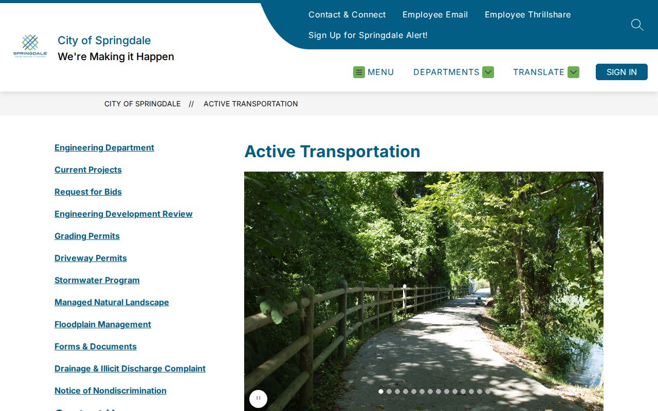
That recognition shows a civic channel, not an exhaustive list of groups or households.
For a real association, obtain the subdivision plat first. Search the proper recorder for declarations, protective covenants, property-owner-association liens, and later amendments. Those instruments may identify an association and a mailing contact. They do not establish current membership or authorize access to private rosters. Shiloh Museum has historical organization, school, church, club, business, and town files, but current membership must never be assumed public.
Springdale civic channel
Active Transportation recognizes neighborhood groups for trail adoption. It does not publish a resident directory.
County recorder channel
Recorded plats, covenants, declarations, and POA liens can identify a subdivision association.
Historical archive channel
Shiloh Museum can search documented organizations and community files by place, school, church, club, or business.
Historical Springdale Neighbors
Reverse or criss-cross directories organize entries by address rather than only by surname. Read sequential addresses for one directory year to reconstruct a past block, then verify the same location through a map or legal description. Shiloh Museum holds a verified Springdale directory spine beginning in 1908, telephone books from 1920, and later city and regional volumes through 2016.
The 1924 Sanborn edition adds eight sheets of building footprint, use, and material data. Earlier editions grew from two sheets in 1897, and the 1948 edition reached nine. Those maps do not usually name residents, but they reveal whether the block and structure existed in a directory year.
Historic Springdale searches also need the name Shiloh. The town's 1872 post-office name change and later railroad shift toward Emma Avenue mark different record eras. A missing address may reflect an old street form, a moved commercial center, or a structure that vanished, not an absent household.
Official Springdale Neighbor Evidence
Official sources and commercial neighbor tools serve different roles. County records come from a named custodian, expose their field limits, and provide a path to the underlying filing. Commercial compilations merge data from varied dates and can attach a person to the wrong unit, parcel, or prior address.
| Feature | Official parcel and deed sources | Commercial compilations |
|---|---|---|
| Source date | Assessment or filing date can be checked | Often unclear or mixed |
| Land identity | Parcel and legal description anchor the result | Street strings may be merged |
| Occupancy | Usually not claimed | May infer current residence from stale data |
| Correction path | Contact the named custodian | Provider-specific process |
Use the official record for what it proves. If the goal is simply to greet someone nearby, direct and respectful contact is more accurate than turning a titled-owner name into an assumption about occupants.
Privacy for Springdale Neighbors
Private utility customers, delivery data, student records, and motor-vehicle addresses are not lawful substitutes for a public neighbor list. Secure voter addresses remain suppressed. Renters and household members are not systematically named on a parcel card, and an apartment address may represent many private unit records rather than one household.
Arkansas public-record corrections go to the custodian. An office can fix an error or apply a required redaction, but cannot erase a correct public deed by preference. For commercial compilations, removal is provider by provider because Arkansas has no enacted broad deletion right for ordinary people-finder data as of August 2026.
Lawful use. Check Springdale neighbors for civic curiosity, reconnection, or personal safety awareness. Never watch, intimidate, harass, or harm another person.
Keep notes tied to parcel number, filing date, and legal description. Those anchors help prevent same-name errors and make it clear where an official observation ends and an inference begins.